The area I selected to base the following images upon is an area of Colorado Springs, CO. I chose this area because it contains a lot of mountainous terrain as the Rocky Mountain Range runs through it. The area of Colorado Springs, CO depicted in these images is located at 38.8338889, -104.8208333. The datum used in creating these images was GCS NAD 1983 and the UTM zone of the datum is zone 12. The projection used in creating these images was a transverse mercator.
Image #1: Shaded Relief Model
Image #2: Slope Map
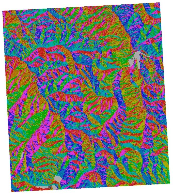
Image #3: Aspect Map
Image #4: 3D Projection


It looks like you picked the wrong UTM zone (I believe Colorado is zone 13, rather than 12.) That's why the maps are crooked.
ReplyDelete10/10